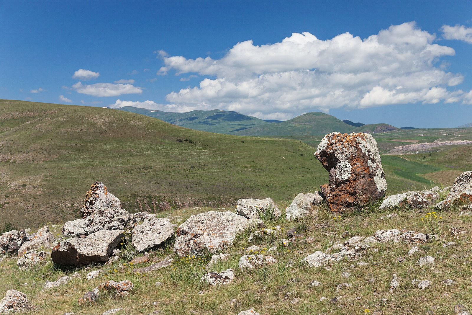
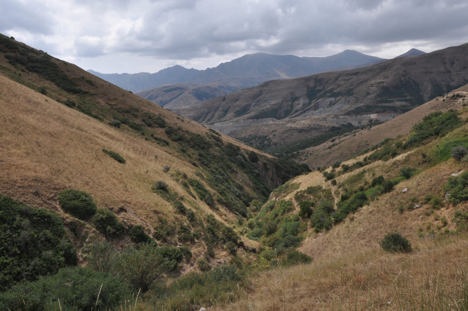
Hiking in Armenia means volcanic plateaus above 3,000 m, beech forest in the north and dry canyon country in the south, nearly all of it within three hours of Yerevan. Some routes are properly waymarked, including long stretches of the Transcaucasian Trail. Many are not. Here is what actually works, season by season, from people who walk here.
| Quick facts | Detail |
|---|---|
| Main season | Late May to mid October; high peaks mid July to late September |
| Highest summit | Mount Aragats, north peak 4,090 m; south peak 3,879 m is the walkers’ summit |
| Long distance route | Transcaucasian Trail, built in sections, best developed around Dilijan and in Syunik |
| Typical day hike | 10 to 18 km, 400 to 900 m of ascent |
| Permits | None for normal trails; small national park fees only |
| Guide cost, 2026 | Roughly 60 to 120 euros per day for a private hiking guide, more with transport |
| Huts | Almost none. Camping, guesthouses and homestays instead |
What hiking in Armenia is really like
The first thing to understand is that Armenia has almost no hut network. There is nothing resembling an Alpine refuge system, no booked bunks, no wardens serving soup at 1,900 m. What exists instead is a dense web of villages, and in nearly every one of them somebody rents a room and feeds you far too much. You plan a route from village to village, or you carry a tent.
The second thing is scale. The country is small, about the size of Belgium, but it is folded. A drive of 90 minutes moves you from semi desert at 900 m to alpine meadow at 2,400 m. That means you can walk in very different landscapes in a single week without long transfers, which is exactly why so many walkers combine trails with monasteries and wine. If you are still shaping your trip, our Armenia travel guide sets out the regions in order.
The third thing is waymarking. It is improving fast but it is uneven. On the Transcaucasian Trail and the Hike Armenia network you will find paint blazes and posts. Off those, you are following shepherd paths, old cart tracks and your own map reading. Download offline maps before you leave Yerevan.
The Transcaucasian Trail
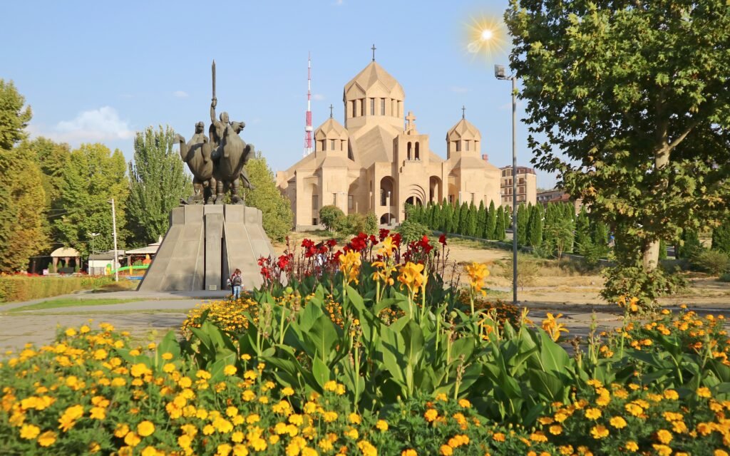
The Transcaucasian Trail, usually shortened to TCT, is the long distance project stitching a hiking route through Armenia and Georgia along the Lesser and Greater Caucasus. In Armenia the planned line runs roughly from the Georgian border in Lori down through Dilijan, across the central highlands and into Syunik, ending near Meghri at the Iranian border. Roughly 830 km is mapped for Armenia.
What matters for planning is that it is not one finished path. It is built in blocks, by volunteer and paid trail crews, season by season. The two most complete and most enjoyable blocks are:
- Dilijan National Park. Well built, well signed, forested, with easy village access at Dilijan, Gosh and Haghartsin. Excellent for a first multi day walk.
- Syunik. Wilder, drier, higher, with long ridge days, few resupply points and big views towards the Zangezur range. This is the section serious walkers come for.
Between those, the route uses more road and track than most thru hikers expect. Check the trail organisation’s own status page in the spring before you book flights, because the picture changes every year as new sections open.
Mount Aragats: Armenia’s high point
Aragats is a huge extinct volcano northwest of Yerevan with four summits arranged around a collapsed crater. The south summit at 3,879 m is the one almost everyone climbs. From the Kari Lake research station at about 3,200 m it is a straightforward walk of two to three hours up, on scree and grass, with no technical difficulty in good conditions.
The north summit, 4,090 m, is a serious undertaking: longer, steeper, with loose rock and real exposure on the traverse. Do not treat it as a bigger version of the south peak.
Two warnings a local will always give you. Weather on Aragats changes in twenty minutes, and fog on that crater rim swallows the route completely; take a compass or a GPS track, not just an instinct for direction. And snow patches linger into July, so the reliable window for the south summit is mid July to late September. On the way up or down, the ruined fortress of Amberd on the southern slope is worth an hour.
Dilijan and the northern forests
Dilijan is the green counterweight to everything else in Armenia. Beech and oak forest, mist, mushrooms in autumn, and a national park laced with genuinely good paths. The classic is the Dilijan to Parz Lake to Goshavank walk, about 18 km, moderate, easily broken into halves. Shorter loops around Haghartsin monastery suit a half day.
Because everything here is at 1,200 to 1,800 m, the forest stays walkable through July and August when the canyons in the south are baking. It is also the easiest region in the country for walking without a car, since marshrutkas run from Yerevan and many trailheads start from the town itself. Our Dilijan guide has the detail on guesthouses and transport, and a relaxed version of the region appears in our Lake Sevan and Dilijan day trip.
Vayots Dzor: canyons, caves and monasteries
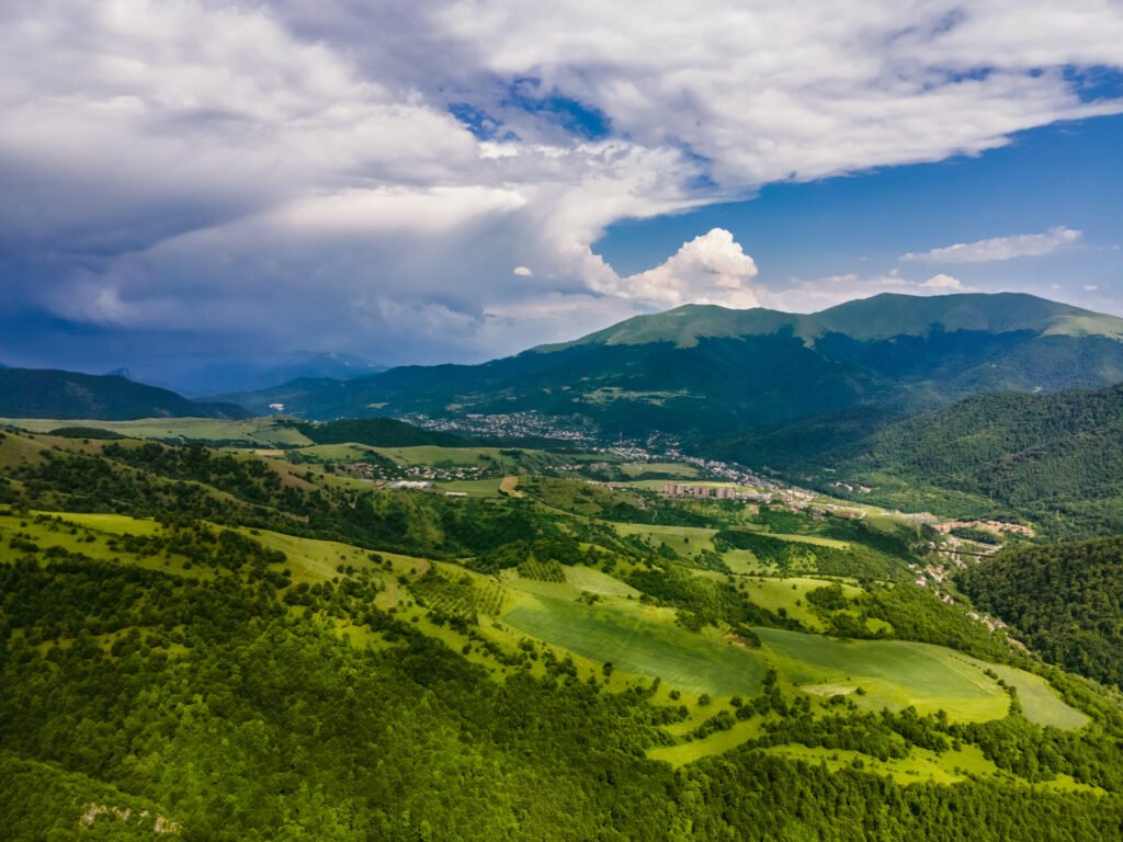
Vayots Dzor, the province that holds Areni and Noravank, is the region where hiking and history sit on top of each other. Walk the Yeghegis valley and you pass a medieval Jewish cemetery, half abandoned villages and the small monasteries of Tsakhats Kar and Smbataberd fortress, connected by a lovely ridge path of about 7 km between the two.
The Noravank canyon itself, with its orange cliffs, gives short dramatic walks straight from the road. Add the Areni wine caves and you have a day that is half exercise and half tasting, which is arguably the correct ratio. See our Noravank and Areni piece for what to combine.
Season note: this is low, dry country at 1,000 to 1,700 m. April, May, late September and October are ideal. Midsummer afternoons here are genuinely hot and shade is rare.
Khustup and the far south
Khustup, 3,201 m, rising straight above Kapan, is the mountain Armenians put on posters. It is a long, steep, rewarding day: roughly 8 to 10 hours return from the usual trailhead, with a rough approach track that needs a high clearance vehicle. The summit ridge is airy and the view over Syunik is the best in the country.
Be honest about the context. Parts of Syunik lie close to the border and the situation on some roads and hillsides changes. Before you walk anywhere east of Kapan or Goris, ask your guesthouse, a local guide or the tourism information office what is currently sensible. This is not alarmism, it is simply how people here plan their own weekends. If you want the region without the commitment, our southern Armenia road trip covers the same landscape at driving pace.
Seasons, month by month
- April to mid May. Canyons and low monastery walks at their greenest. Highlands still under snow.
- Late May and June. Wildflower peak, long days, streams full. The best all round hiking month is June.
- July and August. Hot below 1,500 m. Go high: Aragats, the Geghama range, Dilijan forest.
- September. Stable, dry, clear. Our own favourite for photography and for ridge days.
- October. Beautiful colour in Dilijan and Lori, cold nights, first snow possible above 3,000 m.
- November to March. Snowshoeing and short low walks only. See best time to visit Armenia for the full picture.
Safety, water and dogs
Water is the thing people underestimate. Armenia has wonderful spring fountains, called pulpulak, in villages, and clean springs on many trails, but whole ridge sections have nothing at all. Carry two litres minimum on a summer ridge day and top up whenever you pass a spring.
Shepherd dogs are the second thing. They are guarding sheep, not hunting you. Stop, do not run, let them bark, put the walking pole between you and them, and move slowly around the flock. The shepherd will usually call them off within a minute.
Mobile coverage is good on most ridges and poor in deep canyons. Emergency number is 911. Buy a local SIM at the airport for a few euros. Our wider notes on safety in Armenia apply to the trail as much as the city.
Guided or independent?
Confident hikers with offline maps do the Dilijan and Vayots Dzor routes independently without trouble. Where a guide earns their fee is on Aragats in changeable weather, on multi day Syunik sections where water and camp spots decide the day, and in any village where nobody speaks English and the path you want crosses somebody’s pasture. A guide also turns a walk into a conversation, which in this country is half the point.
A practical compromise many of our guests choose: two or three self guided days in the forest, then a guided high day and a guided southern day with transport included.
What to pack
- Boots with real ankle support. Armenian scree is sharp volcanic rubble.
- Wind shell and a warm layer even in August; 3,000 m here is cold at dawn.
- Sun hat and high factor sun cream. The light at altitude on bare rock is fierce.
- Offline maps plus a paper backup for the high plateau.
- A tent if you want the Syunik ridges; otherwise guesthouse bookings.
Full kit detail sits in our Armenia packing list.
We are a small Yerevan based operator and we walk these trails ourselves. If you would like a hiking day built into a wider trip, or a guide for Aragats or Syunik, have a look at our tours and tell us how far you like to walk.
A simple one week hiking plan
- Day 1: arrive Yerevan, short acclimatising walk in the city and the Cascade.
- Day 2: Garni gorge and the basalt columns, then Geghard.
- Day 3: Mount Aragats south summit from Kari Lake.
- Day 4: transfer to Dilijan, afternoon forest loop.
- Day 5: Dilijan to Goshavank on the Transcaucasian Trail.
- Day 6: transfer south, Smbataberd and Tsakhats Kar in Vayots Dzor.
- Day 7: Tatev and the Vorotan gorge, returning via the Wings of Tatev.
Seven days, four landscapes, one country the size of a small European province. That is the case for hiking in Armenia in a sentence.
Frequently asked questions
Is hiking in Armenia safe for solo walkers?
Yes, for the most part. Violent crime against travellers is very rare and villagers are helpful to a fault. The real risks are weather on Aragats, unmarked trails, shepherd dogs and thin mobile coverage in the deep valleys. Walk with a downloaded map, tell someone your route, and take current local advice before walking near the eastern or southern borders.
When is the best time to hike in Armenia?
Late May to mid October is the broad season. June and September are the sweet spots: wildflowers and long days in June, stable dry air and clear views in September. High Aragats is normally only snow free from mid July to late September, while the low canyons of Vayots Dzor and Syunik are pleasant from April and again in October.
Do I need a permit or a guide to hike in Armenia?
No permits are needed for ordinary trails, and national parks such as Dilijan charge only a small entry fee if anything. A guide is not legally required, but it is genuinely useful on Aragats, on remote Syunik routes and anywhere near a sensitive border. Many walkers do the marked Dilijan and Vayots Dzor routes independently and hire a guide for one or two harder days.
Can you thru hike the Transcaucasian Trail in Armenia?
Sections of it, yes. The Armenian route is built and waymarked in blocks rather than as one continuous finished path, with the Dilijan and Syunik segments the most developed. Most people walk a four to ten day section rather than the whole country, and resupply in villages along the way. Check the trail organisation's current status page before committing to a long itinerary.