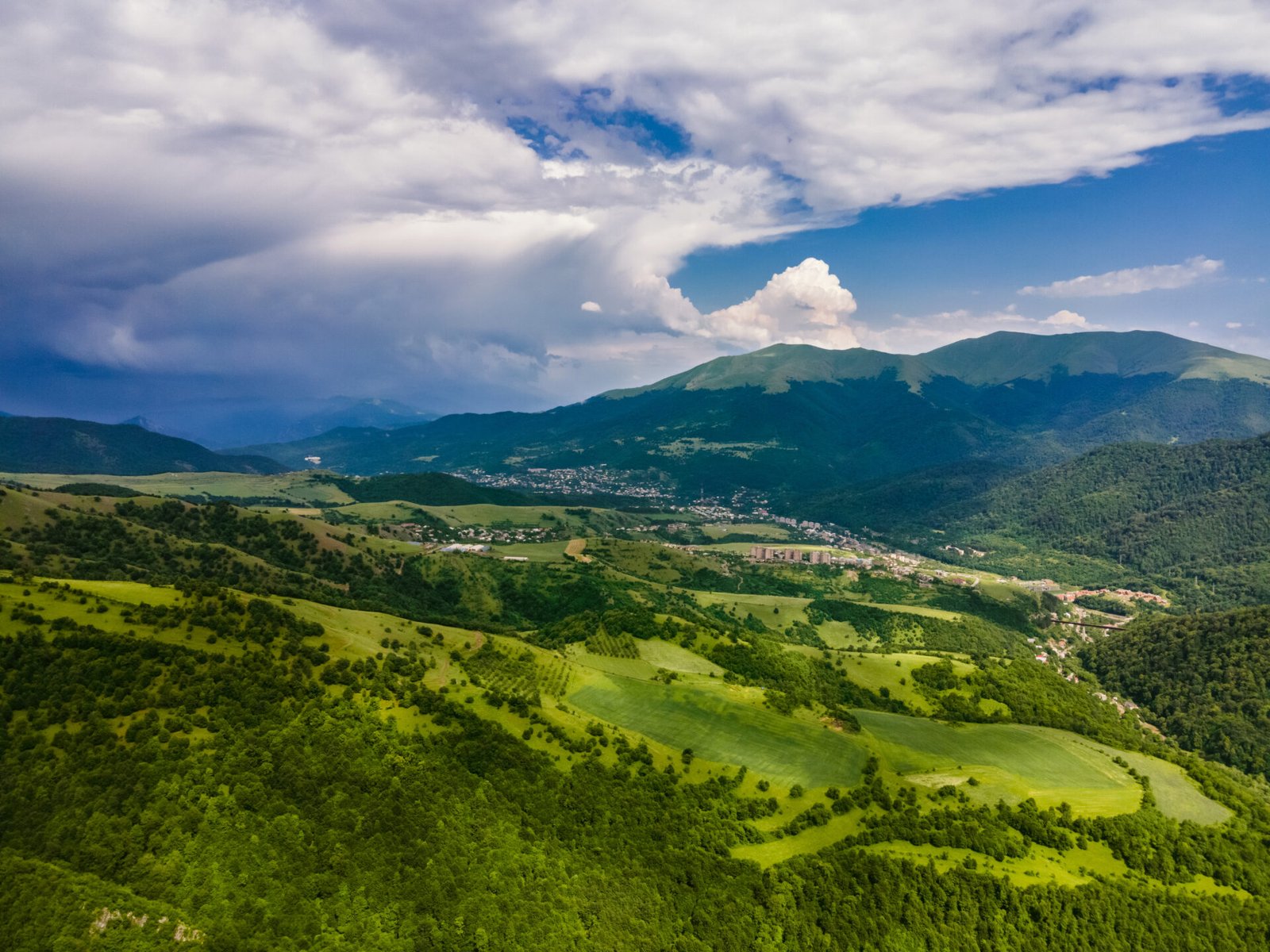
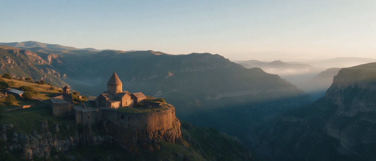
If you are searching for the best hikes in Armenia, here is the honest picture: the country has a handful of excellent day walks, one long-distance trail and very few waymarked, hut-served routes of the Alpine kind. Below are ten trails and walks we would send a friend on, with rough distances, effort and a base town. All figures are ranges taken from trail apps and local operators, and recorded tracks differ, so use them for planning only. For seasons and basics, start with our general guide to hiking in Armenia.
| Question | Short answer |
|---|---|
| Best months? | May to October for most routes. High routes (Aragats, Khustup) are realistic from about July to September; snow can linger into June. |
| Easiest options? | Symphony of Stones in Garni gorge, Shaki waterfall, Jermuk waterfall, Lastiver gorge. |
| Hardest options? | Mount Khustup from Kapan, the multi-day Dilijan section of the Transcaucasian Trail, the north summit of Aragats. |
| Is it waymarked? | Rarely. Red-and-white blazes exist on the Transcaucasian Trail; elsewhere carry a GPX track or an offline map. |
| Do I need a guide? | Not for the short walks. Sensible for Khustup, Aragats and anything near a border. |
| Emergency number? | 112 (police 102, ambulance 103). Mobile coverage is patchy in gorges and on high ground. |
| Border areas? | Stay away from the eastern border with Azerbaijan and follow your government’s current advice. |
Which hikes in Armenia are actually worth the effort?
We chose routes that follow an established path with a published track, end somewhere worth seeing and can be done from a base town in a day (one is a multi-day trail). Difficulty is relative to Armenian conditions: steep, loose, sparsely signed. Times are for reasonably fit walkers with photo stops.
The ten: Tatev to Devil’s Bridge, Garni gorge and Havuts Tar, Lake Parz to Goshavank, the Transcaucasian Trail around Dilijan, Aragats south summit, Sanahin to Haghpat, Lastiver gorge, Jermuk, Shaki waterfall and Mount Khustup.
Tatev to the Devil’s Bridge: how hard is it?
The walk starts at Tatev Monastery, which you reach by road or by the Wings of Tatev cable car (about 5.7 km long, see our Tatev guide). The path drops through oak and hornbeam woods into the Vorotan gorge, passes the ruins of the Big Desert of Tatev and ends at the Devil’s Bridge, a natural travertine bridge over the river with mineral springs beside it.
Expect about 6 km one way and 2 to 3 hours down, with roughly 600 m of descent that you have to climb back. Most people arrange a pickup or do the loop via Tandzatap village, listed at around 15 km and 700 m of climbing, so 5 to 7 hours. That makes it moderate to hard, not a stroll. Some hikers report steep, hard-to-follow sections, so check a recent track. Base: Tatev or Goris. Season: April to November.
Can you walk from Garni to the Symphony of Stones and Havuts Tar?
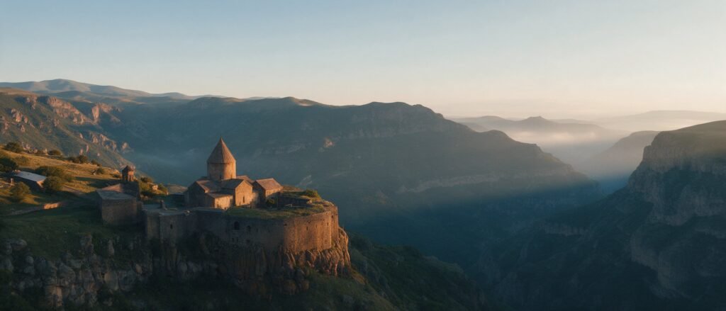
Yes, in two sizes. The short one goes from Garni Temple (about 1,400 m) down into the Azat gorge to the basalt columns of the Symphony of Stones (about 1,220 m), roughly 1.5 km each way on a steep path. The climb back is the hard part, and the gorge is hot in July and August.
The long one continues along the river to the guardhouse of the Khosrov Forest State Reserve and climbs to Havuts Tar, an 11th-century monastic complex on the ridge (about 1,590 m). Operators describe about 8 km with 350 m of climbing; trail apps list a loop of 13 to 14 km with around 600 m. Allow 4 to 6 hours and treat 8 to 14 km as the honest range. Entering the reserve needs permission and a fee, so arrange it with the reserve or a local operator, and ask what applies when you go. Best in spring and autumn. Combine it with the temple and monastery in our Garni and Geghard guide or the half-day tour.
Dilijan: which walk is best, and what about the Transcaucasian Trail?
For a day, take Lake Parz to Goshavank: about 7 km, rated moderate, through forest with khachkars and small streams, then a meadow, ending at the monastery founded in 1188 by Mkhitar Gosh above Gosh village. Plan half a day with the visit. Dilijan to Haghartsin is a longer, uphill walk (around 12 km one way by one local account), so many people take a taxi and walk only part. Read more in our Dilijan guide and our piece on lesser-known monasteries.
For several days, the Dilijan National Park section of the Transcaucasian Trail runs about 80 to 87 km from Khachardzan to Hovk, usually in 4 to 6 days, with red-and-white blazes and guesthouses at suggested stops. Known problems: an unbridged river crossing early on, logging tracks that confuse navigation, an unmarked stretch of about 5 km near Haghartsin and dogs at farms. The Hike Armenia website and app carry the official tracks.
Mount Aragats: is the south summit a normal day hike?
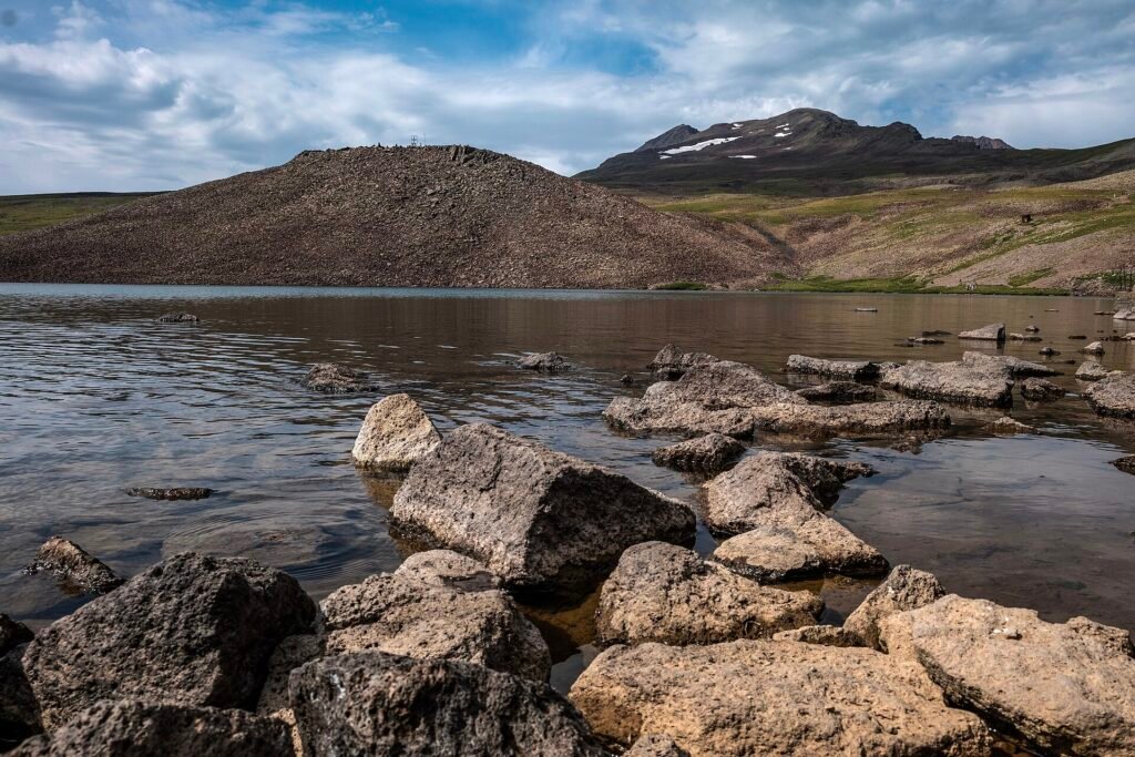
It can be, in good weather. You start near Lake Kari (about 3,200 m) and climb to the south summit at 3,879 m. The route is around 5 km and climbs roughly 450 to 700 m depending on where you begin; operators quote 4 to 5 hours for the round trip. There is no public transport to the lake, so you need a car or taxi, and the road is a summer matter. See our Aragats and Amberd guide.
The climbing season is roughly May to mid-October, and snow patches remain on higher ground in early summer. Fog, wind and sudden rain arrive fast, and at this height you may feel the altitude (see our health notes). The north summit (about 4,090 m) is a different level: one or two days, rope sections reported, guide advised.
Sanahin to Haghpat: a village-to-village walk in the Debed canyon
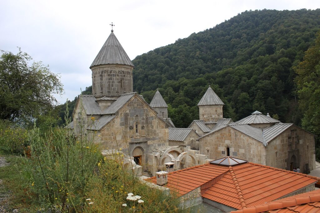
This links two UNESCO-listed monasteries near Alaverdi in Lori. You start in upper Alaverdi at Sanahin (10th century), follow forest tracks past a small stone church on a ridge, go through the village of Akner and cross a meadow before reaching Haghpat. Trail apps list about 11 to 12 km with 350 to 400 m of ascent including the detour to Kayan Fortress (built in 1233); without it the walk is shorter.
It is moderate, mostly on faint paths, with a steep, muddy descent and little signage early on. Load a GPS track before you leave. Plan a full day and check locally when the last minibus from Haghpat back to Alaverdi runs; one traveller reported about 17:00. Haghpat is also part of our Classic Armenia 7-day tour.
Lastiver and Jermuk: easier walks with water
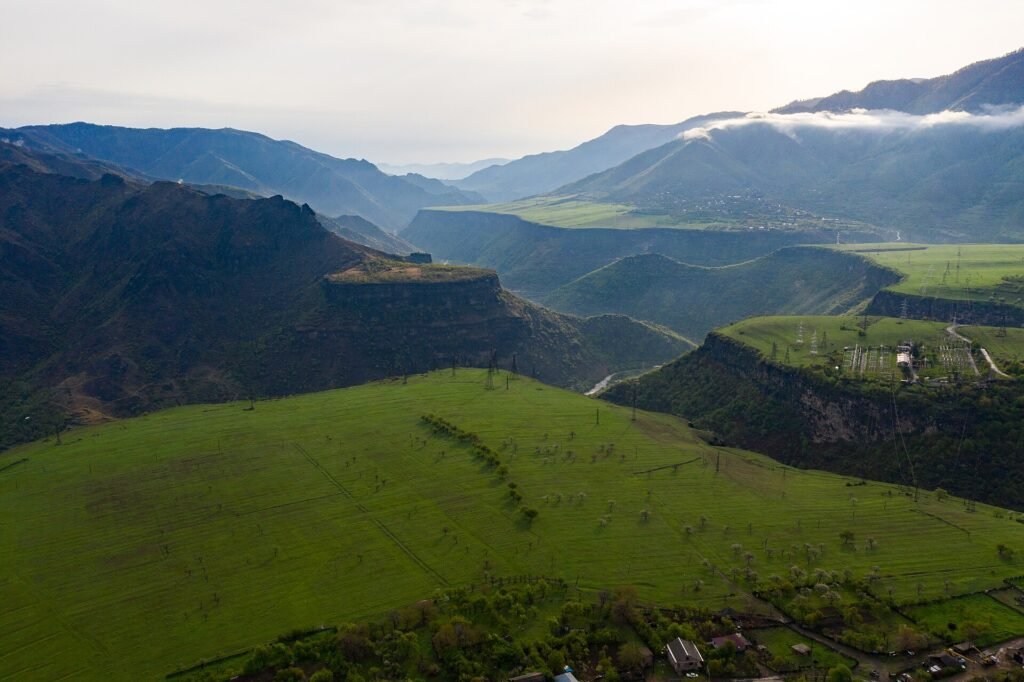
Lastiver is a forested gorge on the Khachaghbyur river near Ijevan in Tavush, about 140 km from Yerevan. Sources give 5 to 7 km, easy to moderate, with log ladders, hermit caves, small tree houses and a waterfall. The river is for swimming only in good weather. Tavush borders Azerbaijan, so check your government’s advice for the province, including the Ijevan to Noyemberyan road, before you go.
Jermuk (about 2,000 m) has the waterfall in the Arpa gorge, around 70 m high, ten minutes from town by a field road. Further out, a heart-shaped hot spring lies about 5 km away, 40 to 60 minutes each way with stream crossings. A loop that includes it and a lookout is listed at about 12.8 km and 330 m of climbing, with a cold, strong river crossing and a steep staircase. A footpath also leads through the Arpa canyon to the 10th-century Gndevank monastery. Best in May-June and September-October. More in our Jermuk guide.
Syunik: Shaki waterfall and Mount Khustup
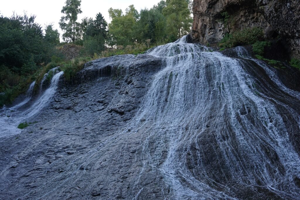
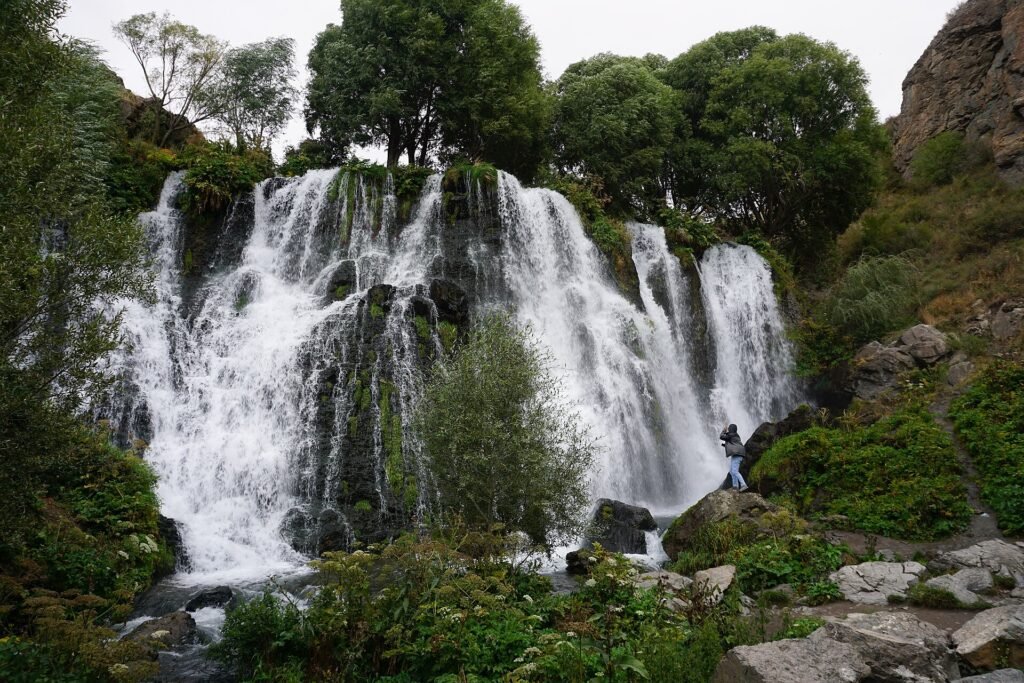
Shaki waterfall, a few kilometres from Sisian in the Vorotan gorge, is about 18 m high and spreads over dark rock. It is a viewpoint and short walk rather than a hike, which makes it a good stop near Karahunj or on the way to Tatev.
Khustup is the serious one. From Kapan, trail apps list 14 to 15 km one way and about 2,100 m of climbing to a summit near 3,200 m, often split over two days with a night in a tent after a jeep ride. The last 100 m is rocky. Garegin Nzhdeh is buried on its slope at his own request, and the views take in the Zangezur range and the Syunik plateau. It is a warm-season climb, snow is common early, and we would not do it without a local guide.
What are the real risks on Armenian trails?
- Weather and snow: storms build quickly in summer on high ground, and snow can still block high routes into June.
- Dogs: sheepdogs guard flocks and farms and can be aggressive. Keep your distance, do not run, and detour around herds.
- Water: springs are not guaranteed. Carry at least 2 litres and a filter on long routes.
- Navigation: signs are sparse. Use a GPX track and an offline map, and tell someone your route.
- Borders and mines: as of October 2026 the UK advises against travel within 5 km of the eastern border with Azerbaijan, and Canada reports landmine accidents there. Stay on marked trails and never approach closed border zones. Photographing or flying drones near border-sensitive sites is reported to be illegal.
- Wildlife: vipers occur in Syunik and bears live in some forests. Encounters are rare; make noise.
Insurance should cover hiking at altitude and evacuation. Pack with our packing list.
Who should skip these hikes, and what are the limits?
Skip Khustup, the Aragats north summit and the full Dilijan trail if you are a beginner, or go with a guide. Skip the high routes from November to April. Expect no huts, little signage and slow help in an emergency, unlike the Alps. The Tatev route is mostly a steep climb back, hard on tired knees.
Our figures come from public trail data and operators, and conditions change, so check a current track and the weather. We run small-group and private tours rather than technical treks, but we can plan walking time into a private itinerary.
Many of these places are stops on our small-group tours, including Tatev, Garni and Geghard and Dilijan. If you want more walking in a private trip, tell us via the contact page.
Frequently asked questions
What is the best time for hiking in Armenia?
May to October suits most routes, with July to September the realistic window for high ones such as Aragats and Khustup. Snow can linger into June.
Which hike in Armenia is the easiest?
The Symphony of Stones walk in Garni gorge, Shaki waterfall and Jermuk waterfall are short and easy. Lastiver gorge is easy to moderate.
Do I need a guide for hiking in Armenia?
Not for short, well-known walks. A local guide is sensible for Khustup, Aragats, multi-day routes and anywhere near a border.
Is it safe to hike near the border?
Avoid the area close to the eastern border with Azerbaijan, where landmine accidents have been reported. As of October 2026 the UK advises against travel within 5 km, so check your own government's advice.
Are Armenian trails marked?
Mostly not. The Transcaucasian Trail uses red-and-white blazes, but elsewhere you need a GPX track or offline map.